Skip to the interactive map
Interactive Yoknapatawpha story map
Guided sequence
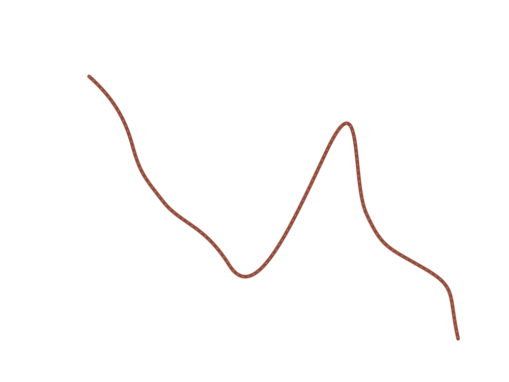
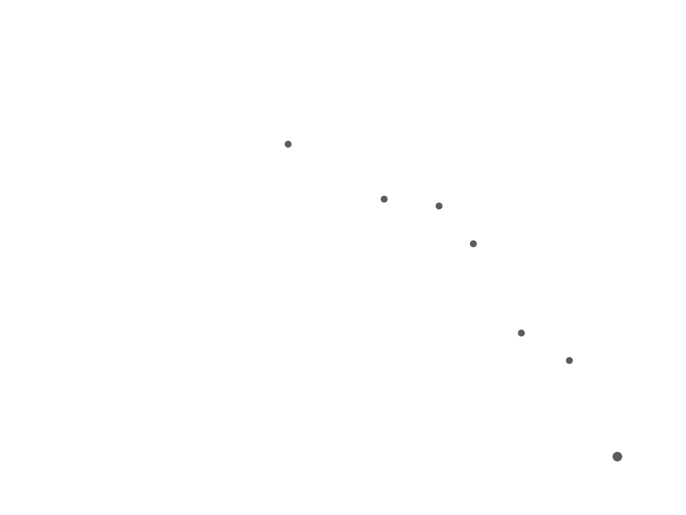
Follow the Bundrens from farm to burial ground
Ten stops trace the changing burden of body, wagon, weather, and family.
▶ Explore journey
The Bundrens and their witnesses
Characters
Each voice changes the map. Select a portrait to view the full character sketch, then connect that character's motives, recurring images, and place in the journey.
Atmosphere
Weather is a narrative force
Rain, mud, floodwater, heat, and fire are treated as active layers rather than decorative scenery.
Cartographic note
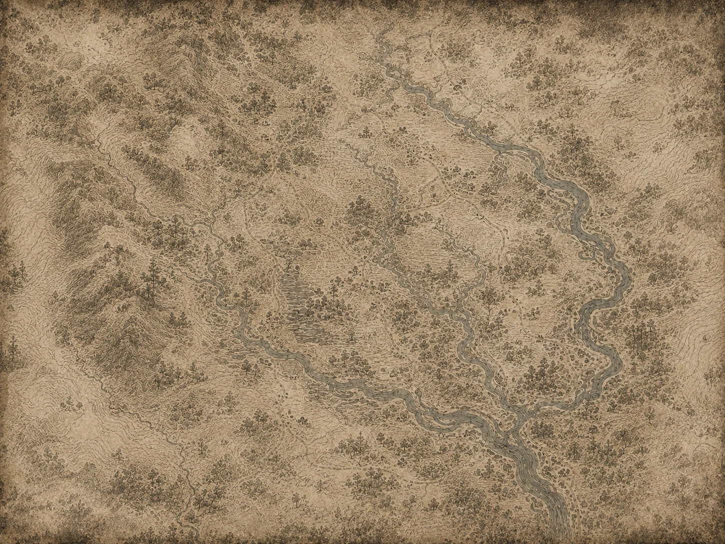
An interpretive geography
Yoknapatawpha is fictional, and the novel does not provide a survey-grade route. This map organizes named places, travel obstacles, and narrative sequence into a legible teaching model rather than claiming exact GIS coordinates.
Read methodology →
Classroom use
Read the novel spatially
Toggle layers to isolate setting, infrastructure, character pressure, or major events. The guided journey can support close reading, discussion, and multimodal annotation.
Print teaching view →
Journey event
Location
Sequence
Narrators
Motifs
Next
Click portrait to enlarge
Recurring motifs
Open full sketch
Show on map
Find a layer, place, person, or event
Search the story map
Search
Display controls
Map settings
Storm overlay Animated rain and darker atmosphere Paper texture Grain and ink wear across the interface High contrast Increase panel and text separation Reduce motion Disable route and interface animation
Project notes
About this interpretive map
This project converts the novel's journey into an explorable teaching interface. It separates terrain, water, roads, settlements, characters, events, and vector relief so readers can ask how geography changes interpretation. This version also adds denser place labeling and annotated landmarks across the route.
Method
The chronology follows the novel's narrator sections. Place relationships are synthesized from the text and Faulkner's fictional county rather than presented as precise real-world coordinates.
Hosting
The project is plain HTML, CSS, JavaScript, SVG, JSON, and local image assets. Upload the folder to GitHub Pages, Netlify, Cloudflare Pages, or any static web host.
Accessibility
Markers, layer controls, dialogs, and journey controls are keyboard accessible. Motion and contrast can be adjusted in Settings.
Layer notes
The real ground under the invented county
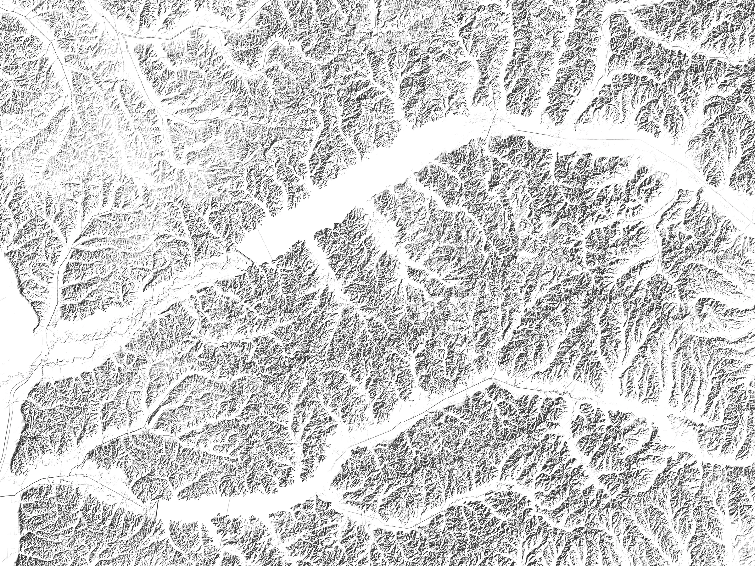
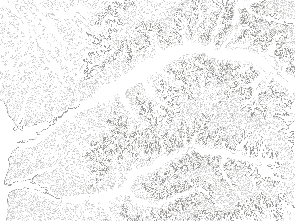
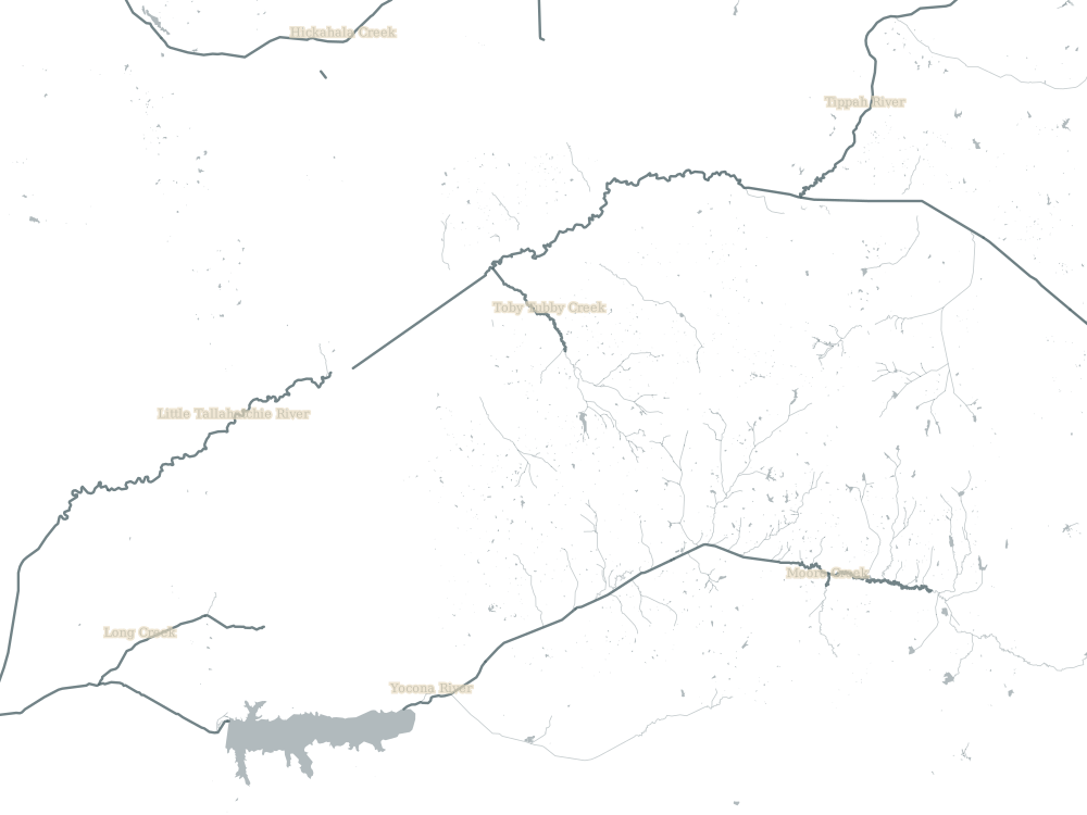
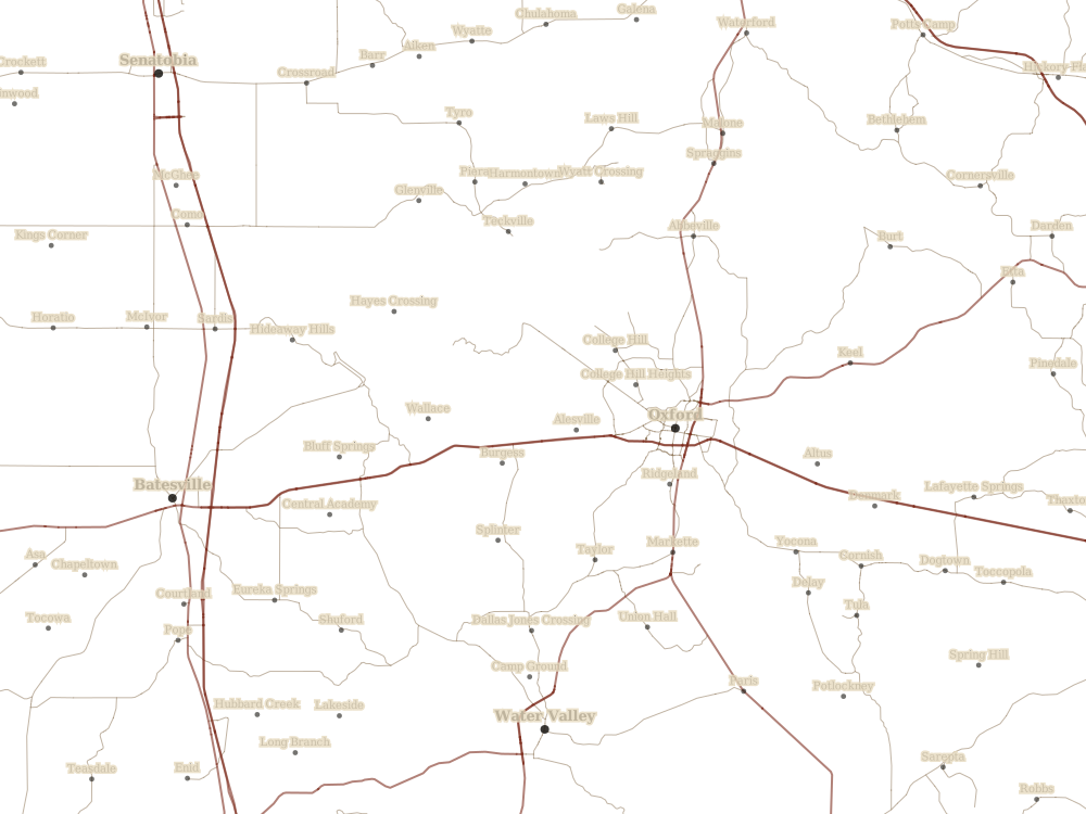
Faulkner built Yoknapatawpha on ground he knew. Jefferson stands where Oxford stands; the Yoknapatawpha River is the Yocona; the county's northern edge follows the Tallahatchie. The Real ground layers draw that actual terrain — surveyed elevation, rivers, towns, and roads — into the same frame as the illustrated map, so you can fade one against the other.
What lines up, and what does not
The real layers are projected honestly: north is up, and every river and town sits at its true position within the frame. The illustrated map is not a survey. Its arrangement of farms, stops, and Jefferson is a reading of the novel, not a coordinate translation of it.
So the two will not agree, and the disagreement is the point. Slide the blend up and watch Jefferson's marker drift away from Oxford, or the wagon's river crossing part company with the Yocona. The gap you are looking at is the distance between a county that can be surveyed and a county that can only be read.
Questions this layer can carry
Where does the invented geography stretch or compress real distance, and what does the novel gain by it?
The Bundrens' route crosses water at its worst moment. What does the real drainage of this country suggest about why?
Faulkner called Yoknapatawpha "apocryphal." What does the real ground let you say about that word?
Sources
Elevation is USGS 3DEP terrain, in the public domain, rendered as shaded relief at 15 m contour intervals with vertical exaggeration so that gentle north Mississippi relief stays visible. Rivers, towns, and roads are from OpenStreetMap, © OpenStreetMap contributors, licensed ODbL. Both are pulled and rendered by tools/build_real_ground.py in this repository, so the overlay can be rebuilt or re-tuned from source.